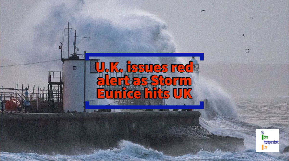
U.K. Met Office has warned millions of people to stay indoors as Storm Eunice could bring wind gusts of up to 90 mph
The Met Office of the United Kingdom (U.K.) has issued a red warning and warned millions of people to stay at home as one of the worst storms in decades – Storm Eunice hits the U.K.
The red warning means danger to life from flying debris, roofs could be blown off and power lines brought down. Southern and Eastern England and South Wales will be most affected. As a safety measure, hundreds of schools have been closed travel networks are experiencing cancellations and major disruption. The power cuts have left about thousands of properties in Cornwall and Wales without power.
It has been forecasted that Eunice could bring wind gusts of up to 90 mph on Friday, i.e., February 18, 2022. This is a second storm in the U.K. in a week after Storm Dudley damaged parts of Scotland, Northern England and Northern Ireland, leaving thousands of homes without power.
Here’s a list of warnings issued:
| Type of Warning | Region | Time |
| Red | coastline of Devon, Cornwall and Somerset and south Wales | 07:00 GMT until 12:00 GMT |
| Red | London, South-East England and parts of East England | 10:00 GMT to 15:00 GMT |
| Amber | All of England south of Manchester and Wales | Until 21:00 GMT |
| Yellow | Scotland, Northern Ireland and Northern England | Until 03:00 GMT |
| Yellow | Midlands, North-East England, North-West England, parts of Northern Ireland and parts of Scotland | 07:00 GMT to 18:00 GMT |
| Yellow | London, south-east England, south-west England, Wales and parts of the West Midlands | 06:00 GMT to 18:00 GMT tomorrow, i.e., Saturday, February 19, 2022 |
Taking it to twitter, the Met Office tweeted,
⚠ #StormEunice is going to bring damaging and disruptive winds for most of the UK today.
— Met Office (@metoffice) February 18, 2022
🔴 See the latest Red Warnings for wind below and be aware of the wider Amber Warning area.
Exposed coastal areas could get gusts in excess of 90mph
Latest 👉 https://t.co/QwDLMfRBfs pic.twitter.com/uQAeGfB3RK
It further tweeted,
Although the most disruptive aspect of #StormEunice will be the damaging winds, there'll also be heavy #snow for some❄️
— Met Office (@metoffice) February 17, 2022
Significant falls of wet snow combined with strong winds, may give blizzards and drifting over hills and cause transport and power disruption⚠️#WeatherReady pic.twitter.com/u3IJ63fmQR
There are concerns that Storm Eunice’s strong winds and a possible storm surge could combine with high spring tides to bring coastal flooding to the West, South-West and the South Coast of England. River flooding in the Pennines, North Yorkshire and Lancashire is expected during the weekend. The water level in rivers, lakes and streams is likely to rise and overflow due to a combination of after-effects of Storm Dudley and snow melting.
However, the Government has said it is well-prepared for Eunice with more than 250 high-volume pumps and 6,000 trained staff been deployed.
National Highways, which is in charge of England’s motorways and major A-roads, has said there was a particularly high risk that high-sided vehicles, caravans and motorbikes could be blown over. It has urged drivers not to travel on bridges and viaducts. Several bridges have closed including the M48 Severn Bridge, the A14 Orwell Bridge in Suffolk and the QEII Bridge in Dartford. British Airways said the rate of aircraft permitted to land at Heathrow Airport was being reduced because of the gale force winds and confirmed it had cancelled flights over the extreme conditions at some airports.
The last red warning was issued in November 2021 for Storm Arwen. Prior to that, it was 2018 when the Met Office issued a red alert for the so-called “Beast from the East.”


